And the Building Continues: Inundation District and the Making of the Seaport

In December 2016, at a press conference announcing the release of the landmark Climate Ready Boston report, then-Mayor Marty Walsh declared a new approach to building in the city. Citing the recent rebranding of the Boston Redevelopment Authority to the Boston Planning & Development Agency, Walsh insisted the update was less a simple name change than a ‘whole cultural change.’ ‘It’s about truly planning an entire area and planning for the future,’ he said. ‘When you look at the waterfront today, if we could go back in time 30 years and start looking at the different buildings that were built… if we really thought it through, we could have done some real spectacular things during the development phase. We missed that opportunity, so now we have to figure out how do we do it and then with the new development coming in, have the new development prepare for the future.’

Two days later, the Boston Herald ran an article interviewing developer John B. Hynes, III, the main player in the planning of the 23-acre waterfront megaproject dubbed Seaport Square. ‘I have my doubts,’ Hynes said of the city’s climate projections. ‘The global warming phenomenon that everybody’s worried about is nothing more than historic cycling.’ The Mayor’s report identified the South Boston Waterfront as the area at the highest risk of damages due to sea level rise and chronic flooding, but one of its most prominent builders wasn’t as concerned. ‘If these guys are all right, I guess the next generation will be developing out in the Berkshires. Eastern Massachusetts will be under water, which is crazy,’ Hynes said. ‘I’m not going to get into the science of it because there’s too much science.’

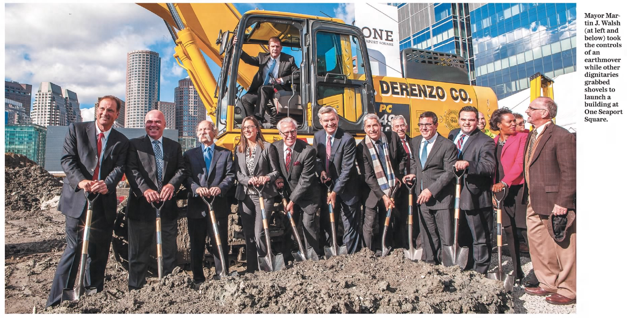
By then, Hynes’s firm Boston Global Investors and majority partner Morgan Stanley had already completed an impressive ‘exit’ from the Seaport Square project, netting north of $360 million in profit in less than ten years. Following the initial $204 million acquisition of the land from Rupert Murdoch’s News Corp in 2006, Hynes estimated a further $80 million went into the permitting process and infrastructure work, and once the required approvals were secured, the Seaport Square blocks were sold in a series of deals totaling $665 million. A triumphant Hynes put on an elaborate show for the 2014 groundbreaking of the centerpiece One Seaport Square complex, which featured live models posing in stage-set creations of a luxury condo living room and rooftop, a movie theater, and an Equinox gym. Following remarks in which he lauded the Seaport District as representing ‘the future of our economy,’ former construction worker and union head Mayor Walsh hopped in the cab of an excavator for the big shovels-in-dirt photo op.

The groundbreaking at One Seaport Square: Mayor Walsh in the excavator, and John Hynes at far left. (Boston Globe, December 31, 2014)

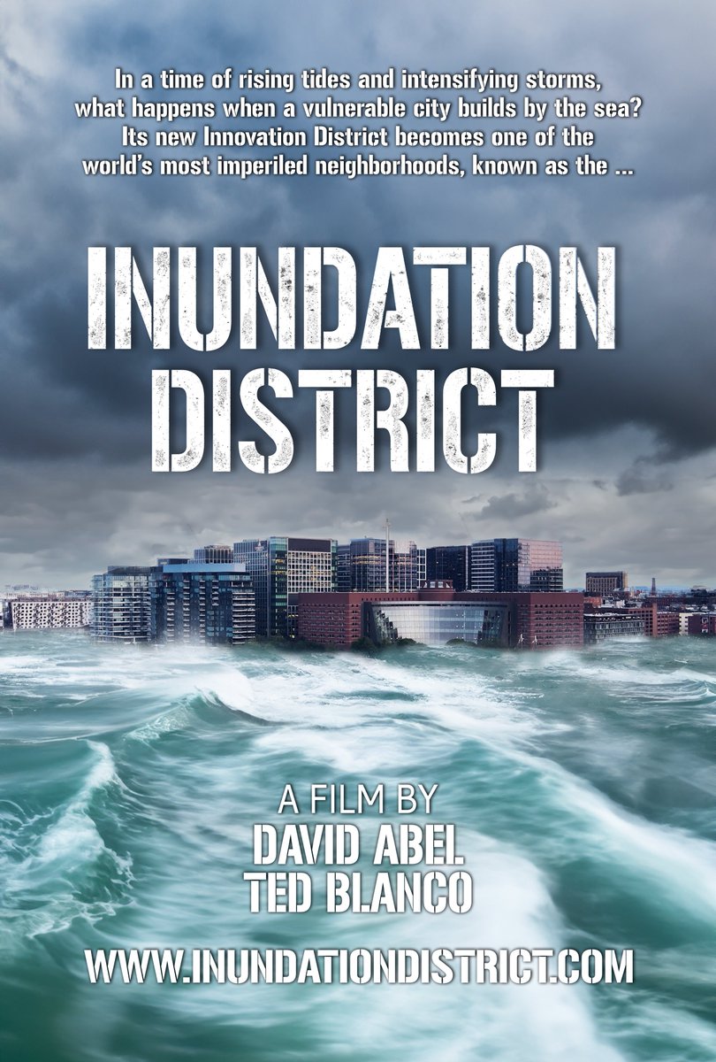
The premise of David Abel and Ted Blanco’s new documentary Inundation District is that such spectacles amounted to shortsighted hubris at best, and willful negligence at worst. How, the film asks, could the city of Boston embark on a multibillion dollar buildout of a brand new neighborhood on filled tidal flats when the threat of sea level rise and worsening coastal storms was already widely understood? And what is to be done about it now?

These questions have become stock media and conversation fodder in Boston, but Inundation District offers the most compelling and accessible rendering of the subject yet. It deserves wider distribution, and an audience well beyond just the Bay State. Timely, informative, and engrossing, the film weaves history lessons and technical expositions with more cinematic moments played up for pathos or outrage, and Abel covers a lot of ground over a 79-minute runtime. If anything, possibly too much: in its attempt to explore all the angles, and make the most of a large, well-selected cast of characters, Inundation District can feel stretched a bit thin. But that is partly the nature of what is a vast and complex set of issues to consider, and the documentary still succeeds as both a hyper-local investigation and a cautionary tale on a more universal level.

Will it persuade the doubters and deniers? Probably not, and if that’s not quite the film’s remit, there might be some truth to the inevitable charge of preaching to the choir: so far it has only been shown at select events and venues, some in partnership with local environmentalist groups, in places like Cambridge and Nantucket, where likely most in attendance arrive well-primed to lament the insane overbuilding of the Seaport. In one ‘meta moment‘ at a recent screening at Boston University, some of the same Extinction Rebellion activists seen in Inundation District interrupted the Q&A to grill and make demands of Massachusetts Climate Chief Melissa Hoffer—though the organization later clarified its ‘appreciation and admiration to the creators’ of the film.

Many others are not so alarmed, or at least view other issues as more pressing. A 2022 poll from MassINC sponsored by cable billionaire Amos Hostetter’s Barr Foundation—which also provided support for Inundation District and the 2016 Climate Ready Boston report—found that while 77% of respondents said climate change posed a ‘very serious’ or ‘somewhat serious’ problem for Massachusetts, only 47% ranked it as a ‘high priority’ for the state government to address, compared to 68% who said the same regarding ‘jobs and the economy.’ This is roughly in line with recent nationwide figures: in a 2023 Pew Research Center survey, 37% of Americans said the federal government should prioritize ‘dealing with global climate change,’ well below support for ‘strengthening the nation’s economy’ at 75%.

There may be doubts about the reliability of public opinion polling, but such results point to an intuitively understood dilemma at the heart of debates surrounding efforts to mitigate climate change. That is, the idea that even if we accept the looming danger of the situation, we can’t afford to do anything too sudden or drastic about it. As one interviewee in the Pew survey said regarding the transition to using renewable energy sources, ‘I’m fine with the change. What I’m not fine with are the demands and the urgency to change, which then has a major impact on the economy.’

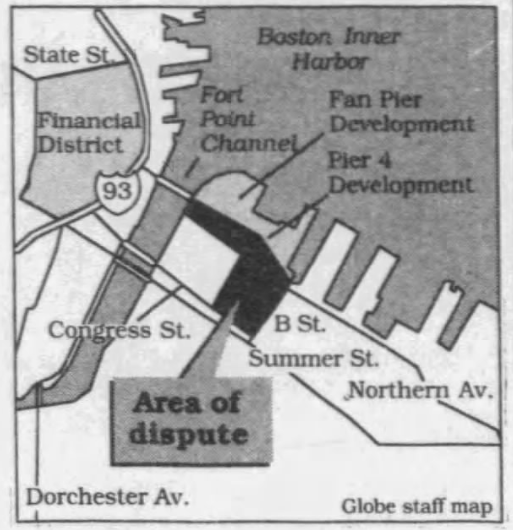
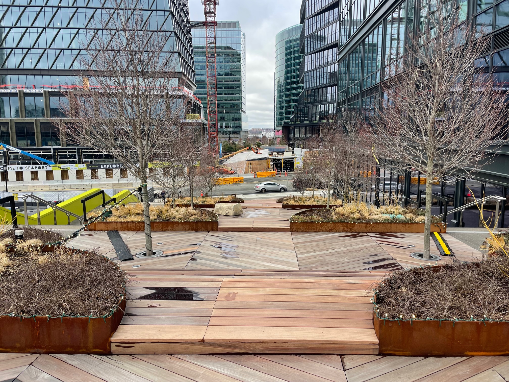
The parallel with the rise of Boston’s gleaming, seaside ‘Innovation District’ is clear enough. There was, and is, simply far too much money at stake not to build. The most coveted land at Fan Pier and Seaport Square had been tied up in litigation and planning battles for decades, so that when it at last came time for construction to begin, the mood was jubilant. ‘Remember all the fights we had on this one?’ Mayor Thomas Menino said ahead of the groundbreaking ceremony for Joseph Fallon’s Fan Pier development in 2007. ‘The day finally has come to see Fan Pier rise out of the ground to become a very important part of the city’s economy.’ The sense of long-awaited momentum on the waterfront provided a rare source of hope when the global financial crisis and recession hit soon after; a 2010 Globe report on the BRA’s pending approval of Hynes’s Seaport Square anticipated that the project’s initiation ‘could signal a reawakening for private development, which has been largely dormant in the city since credit markets froze.’

Boston Globe, September 26, 2007

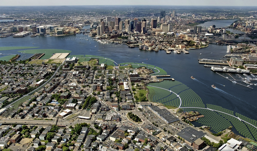
Over the next decade the Seaport would lead and come to symbolize the broader post-recession building boom in Boston. The BPDA’s 2018 Economy Report identified 124 developments under construction across the city at a total value of $11 billion, with $1.9 billion of that rising in the South Boston Waterfront, the highest of any neighborhood. According to Boston Global Investors, Seaport Square’s projects have to date ‘created approximately 10,000 construction jobs [and] 20,000 permanent jobs,’ with the rise in property values ‘resulting in increased real estate tax payments to the City of Boston of approximately $45 million annually.’ As Mayor Walsh said at Hynes’s grand groundbreaking for One Seaport Square, ‘We are seeing our city’s economy work right here in front of us.’ Boston might pride itself on world-renowned tech and life sciences sectors, but builders still largely call the shots: Suffolk Construction’s John Fish has ranked near or at the top of every Boston magazine Power List since 2012, and Walsh’s 2013 election victory was widely attributed to his rock-solid backing from the building trades unions.

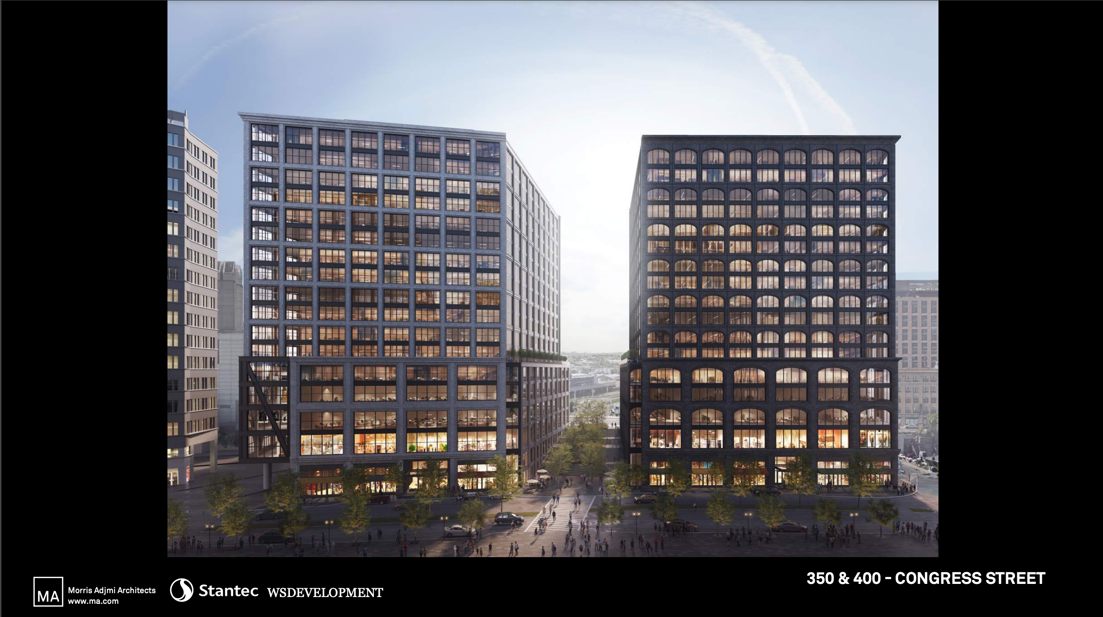
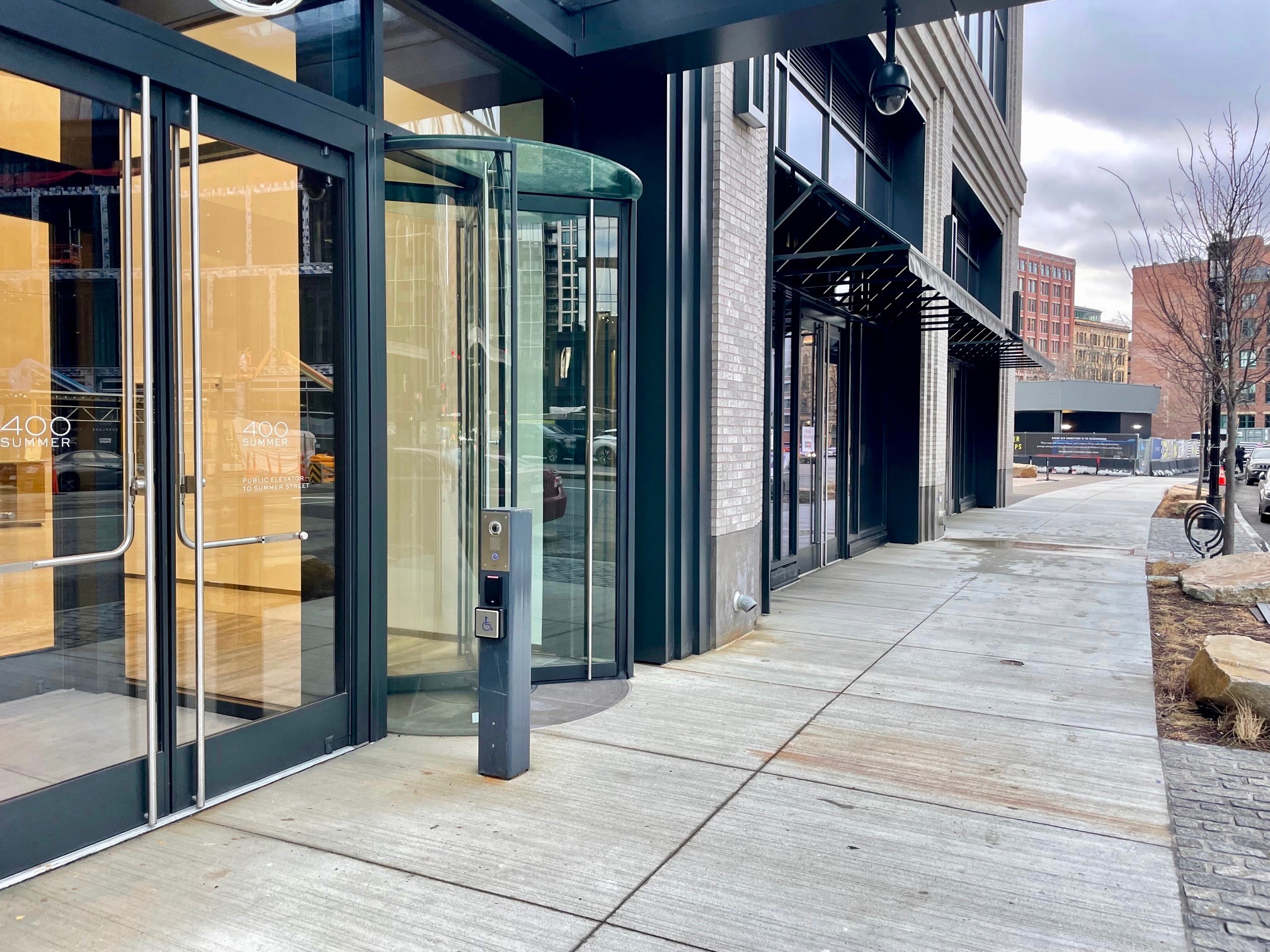
Inundation District doesn’t deal with all the tricky implications at play in the world of Boston power politics and the real estate game—to pull those threads would probably result in a separate film entirely—but it does prominently feature one developer as a stand-in for the rest. This is, of course, WS Development, the company that has more than any other defined the look and feel of the central Seaport area, initially partnering with John Hynes and Morgan Stanley in 2007 and later acquiring the remaining unsold 12.5 acres of their land for $359 million in 2015. In a scene played for irony, the filmmakers crash WS’s festive 2021 ribbon-cutting for ‘The Rocks at Harbor Way’ and speak to executives Amy Prange and Yanni Tsipis, and to his credit Tsipis agrees to a longer interview, according to Abel the only developer willing to do so. Tsipis emphasizes the firm’s long-term interest in the area, and gamely walks through various flooding resilience measures they’ve implemented—building at a raised grade, putting mechanical systems on a higher floor, designing a parking garage to double as a vast stormwater repository—but is ultimately set up to take the fall in the film’s climactic moment.

The scene has Abel, otherwise unheard and unseen, at his most confrontational, and serves its purpose to heighten the drama, but at the risk of washing out some nuance. WS deserves plenty of scrutiny for its choices in the Seaport, from specific instances of abandoning or altering promised public spaces to an overall paucity of vision, in thrall to brand names and moneyed tenants, but Tsipis is indeed one of the more ‘enlightened developers,’ as Abel told Boston Public Radio, and there doesn’t appear to be reason to doubt the firm’s claim that they ‘plan to own the area for a very long time.’ The Seaport’s most egregious practitioner of climate denial and windfall land-flipping doesn’t feature in the film, nor do any other major waterfront operators, like the Fallon Company, Fidelity Investments, or the federal government. Which is all to say the situation is complicated, bigger than one developer or landowner, and demanding a fully integrated preparation and mitigation strategy that has yet to be realized. As Deanna Moran of the influential Conservation Law Foundation advocacy group has said, ‘This ad hoc, parcel-by-parcel, project-by-project resilience approach is not a long-term solution.’

The Emerald Tutu, a climate infrastructure answer to Frederick Law Olmsted’s Emerald Necklace. (https://news.mit.edu/2020/emerald-tutu-design-wins-nsf-grant-protect-boston-coastline-0903)

Where do we go from here? The film looks at a few proposals to stave off the worst, all either conceptual, expensive, or somewhat outlandish: a massive seawall along the outer mouth of the harbor, a deployable storm surge barrier that could turn the Fort Point Channel into a huge drainage basin, an Emerald Tutu of ‘floating biomass modules’ to diminish high wave energy. On the development side, the Coastal Flood Resilience Overlay District guidelines were added to Boston’s zoning code in 2021, and this past December the Massachusetts Department of Environmental Protection issued new draft wetlands regulations that have already drawn criticism from the business community. ‘Yes, we all deserve to be protected against climate change flooding,’ a recent Banker & Tradesman editorial grants. ‘But every state and local agency that touches the built environment must keep maximizing housing production top of mind at all times. After all, what use are legal and regulatory protections to someone who can only afford to sleep in their car under a bridge?’

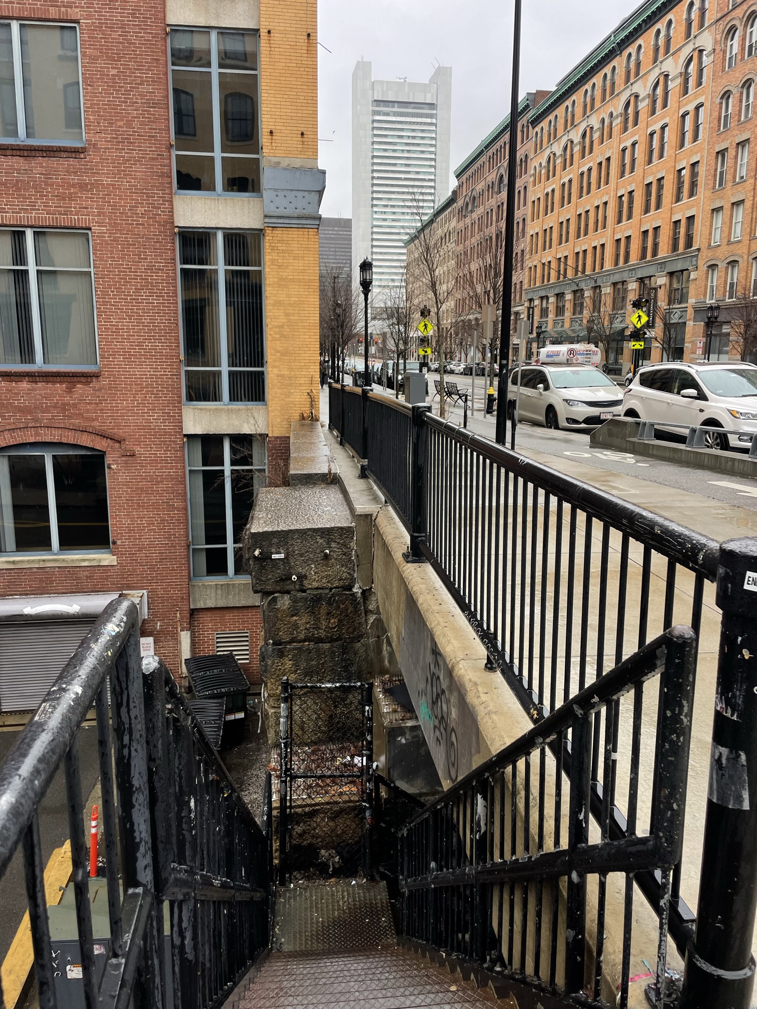
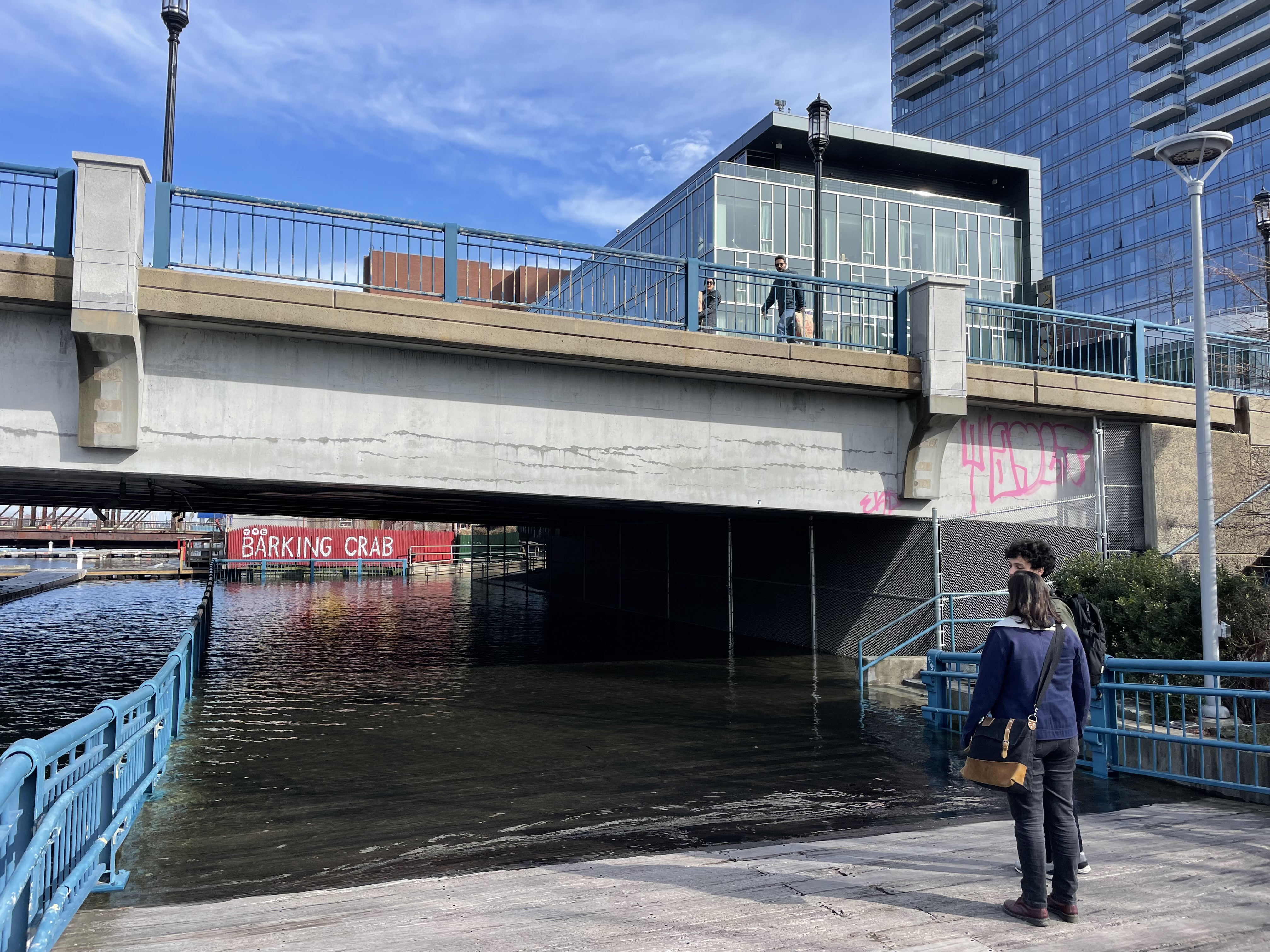
As it happens, Inundation District does spotlight a man, Nathan Wyatt, who sleeps under a bridge in the Seaport, the Harborwalk underpass near the waterside Barking Crab restaurant. His message is the opposite: all this building is for naught, certainly not intended to help people like him in the first place, and anyone who can’t see what’s coming is hopelessly deluded. Taken by surprise on a high tide flooding day, he wakes up to find blankets and belongings soaked through, and eventually leaves the area to seek drier shelter elsewhere.

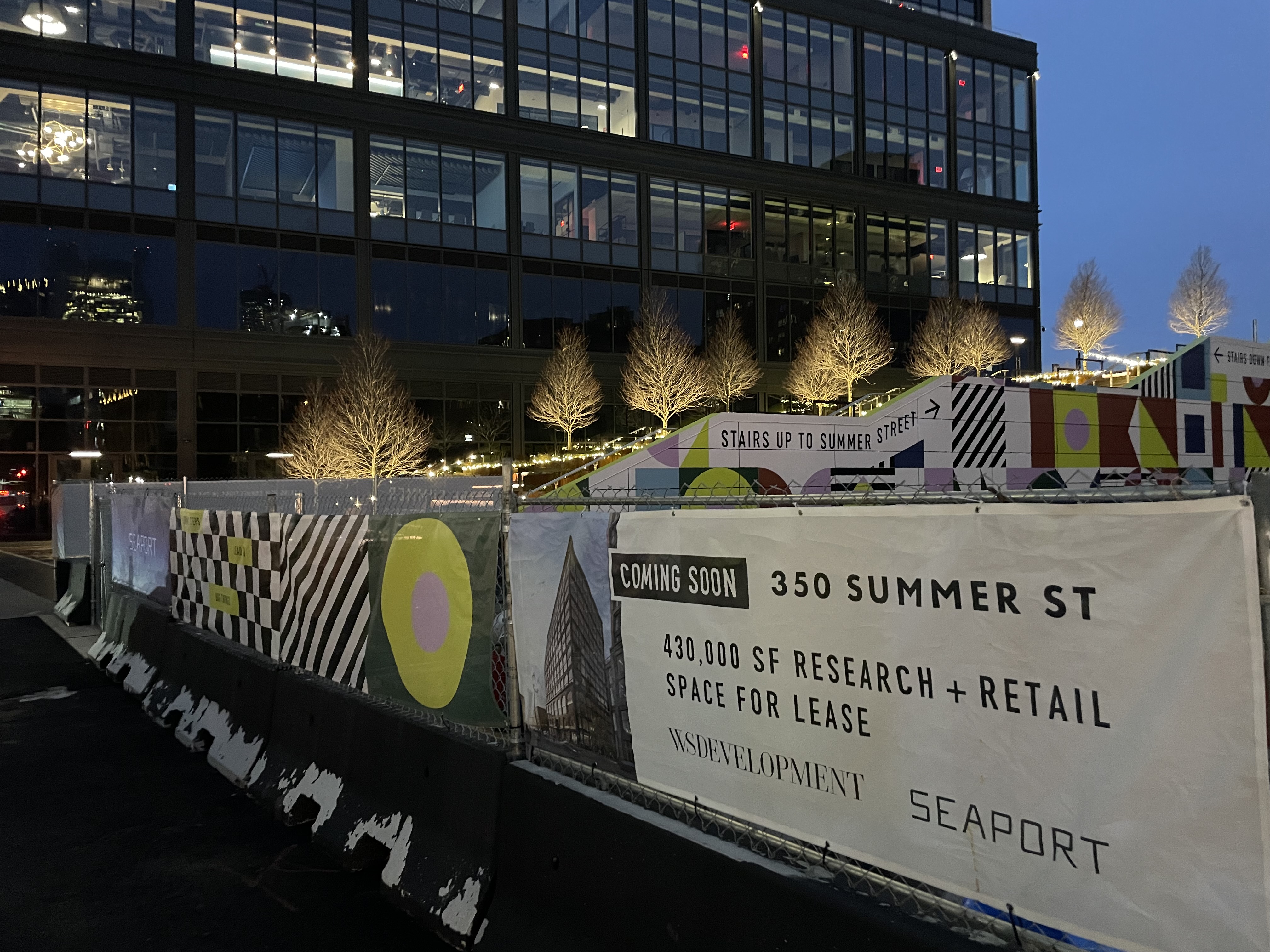
So we can’t afford to do too much, and we can’t afford not to. However the broader climate battles play out in Boston and across the country, one thing is certain: development in the Seaport is not stopping anytime soon. ‘This place is going to be subject to devastation,’ former Mass Audubon and Coastal Zone Management official Jack Clarke says indignantly in the film, ‘and the building continues.’ Directly on the harbor’s edge, the St. Regis condo building opened in late 2022, Fidelity has commissioned a large-scale renovation of its Commonwealth Pier office and retail complex, and the last piece of Fallon’s Fan Pier is set to rise on Parcel H diagonal to the Institute of Contemporary Art. Along the flood-prone Fort Point Channel, Eli Lilly will soon move into its new $700 million Institute for Genetic Medicine, Related Beal has planned the $1.2 billion mixed-use Channelside project, and Gillette is now making moves to undertake a major redevelopment of its longtime 31-acre manufacturing campus.

They say that we have to keep building here, that ‘there’s too much science,’ and that attempting anything truly ambitious in the way of adaptation or resilience just won’t pencil out. More than a failure of imagination, this mindset speaks to a dire lack of ‘civic solidarity,’ as the novelist Greg Jackson has put it. ‘Regardless of how one estimates the financial burden of massive refugee flows, failing cropland, lost coastline, disease, and crippling storms,’ he writes, ‘the cost of taking mitigating steps today pales in comparison. The current price of insurance, in other words, is cheap. The problem is that no person, company, or nation can take out a policy on its own. We have to go in on it together or it won’t work.’

The Seaport is not the only neighborhood in Boston at risk, and Boston is just one of many cities situated perilously low and close to the ocean. In Inundation District multiple people invoke the idea that water seeks its own level, that despite what we might or might not do, we will always be at the mercy of unyielding and dispassionate laws of nature. Spilling over walls or flowing through cracks, the flood will come rushing in, and we will have prepared ourselves and our homes or not. Sooner or later, water finds a way. Will we?

And the Building Continues: Inundation District and the Making of the Seaport

Making the Grade? The Summer Street Steps, So Far


Around the end of November, the Summer Street Steps in Boston’s Seaport District quietly opened for passage. Described as an ‘iconic public gathering place’ by its developer—before much, if any, public gathering has occurred—the new outdoor stairway connects Congress Street and Summer Street, unlocking a corridor between two key arteries notably separated by a 24-foot change in grade. An artifact of the Seaport’s maritime and industrial beginnings, this rift in the grid has posed a challenge to creating a cohesive streetscape in what is today a rapidly evolving area of the city.

Where Congress Street now hums with foot traffic and ground-level activity—there are several restaurants and bars, a hotel, a convenience/liquor store, a Dunkin Donuts, and three family-oriented museums—the elevated stretch of Summer Street west of the Boston Convention & Exhibition Center is by comparison barren, its only retail tenants a salon and a clinic offering botox injections and other cosmetic services. There are few options for descent, involving long walks down D Street or World Trade Center Avenue, or negotiating the somewhat treacherous sets of stairs at the A Street overpass.

What is now an impediment was once a boon for the Boston Wharf Company and the waterfront area it created, owned, and built its signature brick warehousing and manufacturing lofts upon. ‘The pace of loft construction got a particular boost around 1900,’ the Fort Point Channel Landmark District Study Report notes, ‘when the Summer Street Bridge opened and extended Summer Street from downtown to BWCo land.’ The 1899 opening of South Station, which consolidated four separate rail terminals into one grand ‘union station,’ allowed for the removal of a railroad drawbridge that had spanned the channel near Summer Street since 1855, and helped relieve the problem of troublesome ‘grade crossings’ where trains met streets at the same level: 

Even though Congress Street Bridge had been in place for over two decades, Congress Street never became an important route in South Boston. The tracks of the railroad, after 1873 owned by the New York & New England Railroad (NY & NE RR), crossed it at grade; likewise, more tracks crossed A Street at grade, separating Congress Street from BWCo’s bonded yards. Summer Street, intended to give access to the new state piers, avoided this problem by being built above grade; it ran at an elevated level through the BWCo site and continued on a viaduct over the railroad’s tracks and yards east of the BWCo land. Congress Street was then terminated at the train yards. Summer Street provided easy access between BWCo’s site and downtown, and the grade separation made it an important thoroughfare in South Boston.

Fort Point in 1891, before the extension of Summer Street across the channel: railroads cross at grade at Congress Street and A Street. (“Atlas of the city of Boston, volume eight, South Boston, Mass.” Map. Philadelphia: G.W. Bromley and Co., 1891. Norman B. Leventhal Map & Education Center, https://collections.leventhalmap.org/search/commonwealth:tt44pv711)
Fort Point in 1899: South Station complete, Congress Street terminated, Summer Street extended through BWCo land at its raised grade. (“Atlas of the city of Boston : South Boston.” Map. Philadelphia: G.W. Bromley & Co., 1899. Norman B. Leventhal Map & Education Center, https://collections.leventhalmap.org/search/commonwealth:tt44pv932)

The Boston waterfront in 1925: Summer Street runs along the left edge. (Fairchild Aerial Surveys, inc. (1925). Boston. South Boston, Commonwealth Pier https://ark.digitalcommonwealth.org/ark:/50959/xp68km56j)

Though much has changed since the days when freight lines threaded through the Seaport, Summer Street remains elevated, and an ‘important thoroughfare’ connecting South Boston to Downtown, such that it has recently become the subject of a contentious debate regarding a city plan to implement ‘a range of transportation improvements throughout the corridor.’ These include a dedicated lane for buses and trucks, and eventually bike infrastructure to extend the near quarter mile of protected lanes completed in Fort Point in 2019. The project website deems Summer Street ‘a critical missing link in existing pedestrian and bike infrastructure in the City,’ and one of the principal objectives is to make it better for walking: ‘An improved pedestrian experience will be had with the addition of transit/bike infrastructure. With improved traffic management along the corridor, pedestrians will be able to have a safer experience.’

So the Summer Street Steps are just one piece of a bigger, high-stakes puzzle. But they are an important piece, and have been touted as such since their developer presented the initial plan and renderings in 2017. How is it going so far? In one sense, it’s too early to say. The construction of the entire site isn’t complete, and the winter months aren’t the best to gauge an outdoor structure’s level of ‘activation’ as a ‘public gathering place.’ There hasn’t been much wider attention, nor a press release, though the Massachusetts NAIOP (‘the Commercial Real Estate Development Association’) did invite guests to explore the Steps as a part of their annual meeting and holiday party. An official ribbon cutting might still be years away.

In another sense, though, the Summer Street Steps are already complete by fulfilling their most basic and important function as a set of stairs: to allow for movement from up to down, or down to up. This is an accomplishment. It should be celebrated. But there is much work yet to be done, and it’s too soon to declare the project a resounding success. The first and so far only review for the Steps on Google, the listing categorized as a ‘park,’ reads:

Summer Street Steps are a game changer for commuting from Southie to Seaport! It’s now a straight shot down D Street, down the Summer Street Steps and you’re right in Seaport! The Steps even have a rail to walk your bike down the steps. And, if you have a stroller or need elevator access, you can do so right in the 400 Summer Street building.

Which is all more or less true, but if it reads like marketing copy, that’s because it is—a quick search shows the effusive reviewer is an employee of WS Development, the master developer overseeing the project. 

Rendering of WS Development’s 350 & 400 Summer Street project, on Seaport Square Parcels N and P; the Summer Street Steps ultimately will ‘cut’ between the two buildings. (Presentation to BPDA, November 2019 https://www.bostonplans.org/projects/development-projects/seaport-square-block-n)

WS’s involvement in the Seaport dates back to early 2007, when it signed on as the retail partner for John B. Hynes, III and Morgan Stanley’s proposed Seaport Square development, a massive, multibillion dollar buildout of 23 acres of land at the time occupied mainly by parking lots. The provenance of the Seaport Square tract is itself a colorful, twisting saga of bankruptcies, litigation, big names, and big deals, something of a microcosm of America’s long transition to its post-industrial present, and well worth an abridged review.

J.P. Morgan’s monopoly New York, New Haven & Hartford Railroad—’the New Haven’—for decades owned the freight yards terminating at Fan Pier and much of the surrounding land, and went bankrupt during the Great Depression in 1935. The company reorganized, failed again, and in 1968 was merged into the newly created Penn Central, which folded after barely two years, then the largest bankruptcy in U.S. history. Penn Central began selling off its vast real estate holdings in Massachusetts, and in 1978 a group of developers including the upstart Frank McCourt Jr. agreed to acquire the L-shaped parcel adjacent to Fan Pier for $3.5 million. They couldn’t come up with the money, and ended up selling the option on the property to the blueblood firm Cabot, Cabot & Forbes, which completed the purchase. The dogged McCourt, though, had retained an option to buy the land from CC&F, and attempted to exercise it at the last minute; they didn’t want to sell, and a lengthy legal battle between the two parties followed. A front-page Globe headline read, ‘Rivals vie to pluck a real estate plum.’

In 1987, a Massachusetts Supreme Judicial Court judge ruled in McCourt’s favor, and he successfully acquired the land for $8.5 million. Over the years McCourt would present various grand development schemes to city authorities and the public, including the construction of a new waterfront stadium as part of a bid to buy the Red Sox, but none came to fruition. Economic difficulties and a strained relationship with Mayor Thomas Menino ultimately led McCourt to look westward instead, and in 2003 he leveraged his prized parcel as collateral to finance a purchase of the Los Angeles Dodgers from Rupert Murdoch’s News Corp.

Boston Globe, December 7, 2001

When the $145 million loan came due a few years later, McCourt turned over the Seaport land to News Corp, which quickly flipped it to John Hynes and Morgan Stanley for $204 million. The deals would keep flowing as the 23-acre spread was carved up: a few plots sold to Swedish construction giant Skanska here, a couple others to Pasadena private equity firm Cottonwood Management there. WS Development acquired the remaining 12.5 acres from Hynes’s Boston Global Investors and Morgan Stanley for $359 million in 2015. A Boston Business Journal analysis found the total purchase price across all the land sales since from 2011 to 2015 had reached $665 million.

When WS Development first entered the Seaport in 2007, it was still mainly known for building suburban shopping plazas. A 1995 Globe article described it as a ‘real estate firm that often acquires sites for Wal-Mart.’ Its profile rose with the 2009 opening of Legacy Place in Dedham, which became an instant success by putting forward a new vision of outdoor-oriented, ‘lifestyle center’ retail, contra to the prevailing style of enclosed, big-box-anchored malls like those in Burlington and Natick. As ‘a new type of mixed-use retail district and an embodiment of New Urbanism,’ the design firm Prellwitz Chilinski says, ‘Legacy Place captures the appeal of a town-like pedestrian experience, offering a lively, people-friendly streetscape with landscaping and exterior cafés suggesting a neighborhood that grew over time.’

This more thoughtful ‘approach to placemaking’ can be commended, but there are only so many ways to innovate fundamentally retail-oriented spaces. If the new Seaport can often feel like a high-end, harborside mall, well, it’s in the developer’s DNA. Inducements to shopping are highly visible throughout WS’s properties. See, for example, the banner on a temporary construction wall across from the bottom of the Summer Street Steps, as work on the connecting ‘Harbor Way’ path continues: ‘This way to more shops,’ it beckons, beside a busy grid of brand logos.

The single strangest feature of the Steps likewise seems to be borrowed from the retail playbook. There are five large, green JBL speakers deployed in a zigzag down the tiered landings, playing a Spotify Today’s Top Hits-type selection of songs at moderate volume apparently around the clock. From the entrance to ‘Harbor Way’ at Autumn Lane through where it currently lets out at Pier 4 Boulevard, there is also a constant stream of pop music. This is fine, maybe even pleasant if you happen to catch a favorite tune, but it doesn’t help dispel the sensation of walking through a shopping center.

What about the rest of the Steps? There are nice design touches: the central wooden boardwalk, and the emphasis on the raised planters and trees, which when lush and blooming will make the location an attractive oasis in a neighborhood sorely lacking green space. Lights at night add warmth to an eerie and canyon-like area bracketed by construction sites. There is a tiny, almost unnoticeable dab of a harbor view from the top of the stairs, but it may be seasonally obscured when the project is complete and the leaves of the Harbor Way trees come in.

The more interesting view is actually looking west, down Congress Street, the Wharf Co. lofts in the foreground and International Place looming behind, but this is only temporary. The Steps opened along with the adjacent 350 Summer Street office tower, home to Roche-owned ‘molecular insights company’ Foundation Medicine, and its companion building 400 Summer Street is due to rise on the other side. Construction hasn’t yet begun, and this past October WS asked for an extension on its permit from the Boston Conservation Commission, claiming that ‘global economic conditions and the office and laboratory leasing market have changed dramatically, impacting [their] ability to finance and lease’ the tower. In January the Wall Street Journal reported that office space vacancy in major U.S. cities had hit 19.7%, the highest figure since the data began being tracked in 1979, and a follow-up story warned that ‘even premier towers are starting to wobble.’

350 Summer’s prime location alone, with Amazon moving in across the street and a number of blue-chip biotech, consulting, and law firms nearby, should ensure WS will find a tenant eventually. But there is a certain irony to the plea for more time. The block was initially permitted for 350,000 square feet of residential space, until WS filed in 2019 to change the building use to ‘office and/or research and development.’

Basic features of the Summer Street Steps have also changed, or are yet to materialize. As the Fort Pointer has documented over the past several years, the initial renderings of the Steps in 2017 presented a rather grander picture. Sure, the project isn’t finished, it’s the middle of winter, and plans evolve. Still, the site simply looked far more spacious and impressive in the original images than it is in reality.

February 2017 rendering of the Summer Street Steps. (https://www.bostonplans.org/getattachment/8005ea79-e8dd-40d8-82b8-ada0d7daa442)

For such a large, blank canvas, accessibility hasn’t been granted the utmost consideration. In a 2017 comment letter, the waterfront advocacy group Boston Harbor Now strongly encouraged taking a holistic approach to mobility at the location, ‘incorporating a combined ramp and stairs design’ to ‘promote an equal experience for all users.’ Instead, the Boston Planning & Development Agency settled for a commitment from the developer to ‘install a public elevator in close proximity to the Summer Steps and outside of the building’s structural core.’ Currently the elevator route is not immediately adjacent, nor prominently called out, and on either level involves walking three doors down into and through the lobby of Foundation’s office. WS’s Notice of Project Change document submitted to the BPDA in February 2017 said, ‘The experience and design quality of this route will be similar to that of the Summer Street Steps and it is intended that the public would not need to enter into traditionally privatized space such as a residential or office building lobby in order to access this critical accessibility pathway.’

That is a particularly flagrant dereliction; other aesthetic criticisms may seem like trivial sideline quibbling. Building anything in Boston, let alone two thoughtfully designed and historically-informed towers bearing public benefits, is hard enough. The obstacles are numerous. Large sums must be raised, bureaucracy navigated, abutting interests placated, tenants signed. But surely we can do better than ‘take what you can get.’ Billions of dollars of public money—the harbor cleanup, Big Dig, Silver Line, courthouse, convention center—went into making the Seaport a viable arena for private development. Powerful companies and illustrious families fought for decades to build on the waterfront, because everyone knew such an unparalleled opportunity would likely never come around again. The moment demanded more than Class A+ office space and nice stores.

The Summer Street Steps at least are not solely that. They serve a valuable purpose, and years from now could even be fondly seen as the ‘iconic public gathering place’ that has been promised. Stairways are potent symbolic structures, and in the best cases can define and elevate a space to sublime heights. In the original 2017 project plan, WS described their work as being ‘modeled conceptually on the Spanish Steps in Rome and other monumental stairs around the world.’ If only the execution were as ambitious as the vision: the Summer Street Steps are fine, but a Baroque masterpiece they are not.

Making the Grade? The Summer Street Steps, So Far